| |
| |||||||
 |
| | LinkBack | Thread Tools | Display Modes |
 04-17-2006, 01:15 PM
| #1 |
| Quarry Creeper Join Date: Mar 2006 Location: ft. collins
Posts: 419
|
Started as a reference for good spots to crawl in Colorado. Maybe used to connect to others in the area to crawl. I am based in Ft. Collins so most areas will be within t he surrounding areas but want posts from all over Colorado. Detailed directions should be available if anyone wants to explore the areas. Hope this evolves into a good list of spots to crawl spots. Post up. The first spot I call Soldier Dam Gulch. Just South of Soldier Dam at Horsetooth reservoir, there is a small parking lot and a trail down to the water. Drop over the small cliff edge and there you are. Multiple areas with terrain from simple to very technical. I've never been bothered. May be underwater if reservoir is more full than normal. Link to map of Horsetooth reservoir http://www.larimer.org/parks/horsetooth_map.htm Oh yea, this is in "get togethers". I started this as a way to hopefully network with others in the area. I will start to post planned times to get out on the rocks. Post up if anyone in the area wants to get out. Last edited by 666; 01-18-2016 at 10:14 PM. |

|  |
| Sponsored Links | |
| | |
|
07-06-2006, 06:12 PM
| #2 |
| Quarry Creeper Join Date: Mar 2006 Location: ft. collins
Posts: 419
|
This spot is at a spillway on the Poudre River, just North of old town Fort Collins. Just before you cross the bridge over the river, there is a large building on the East side of College Avenue. You can park behind this building. Head towards the river, cross the bike path and walk down to the river. The terrain consists of red sandstone rip rap. This spot is underwater during times when the river is high. I have not seen it accessable for about a month now. Water levels should be dropping in a month or so. The water moves rocks around, so there is sometimes some stacking to be done, but the terrain is challenging and it is easy to get to. Lucky to have a great spot right here in the city. Last edited by 666; 01-18-2016 at 10:15 PM. |
|
| |
|
11-11-2007, 01:52 PM
| #3 |
| I wanna be Dave  Join Date: Mar 2005 Location: Hiding from Goodall
Posts: 2,518
|
It is better suited to 2.2s and scalers but if you want to get wet, well you will The location is Bear Creek Park just south of 285 between Lowell and Sheridan. Exit Lowell/knox CT and go north to Girard. Turn left on Girard and follow down to Patton. Turn left and the next stop sign is Raleigh. Turn left to go under 285 and park in the first lot you come to; unload and walk over the bridge. Or from Sheridan go north to Dartmouth and turn right. Turn right again on Raleigh and follow down. There are also some smaller drainage channels that would be fun to get muddy in so wrap your junk up! Last edited by 666; 01-18-2016 at 10:15 PM. |
|
| |
|
11-16-2007, 08:00 PM
| #4 |
| RCC Addict Join Date: Apr 2006 Location: Brighton
Posts: 1,015
|
Basic Directions: I-25 to Colorado, Take Colorado North to S. Cherry Creek Drive. Turn Right on S. Cherry Creek Drive, heading East. Turn Left onto Cherry St. heading North across the bridge. Turn Right onto Exposition heading East again. The building on the left is Cherry Creek Plaza, which is straight across from the crawl spot and there is parking there during the weekend or further up Exposition on the right is Four Mile Historic Park, a dirt parking lot, easy access on bike path if you have a rolling pitbox/wagon etc. Plenty of trail, trees, sand, rocks and running water  some pics to entice some pics to entice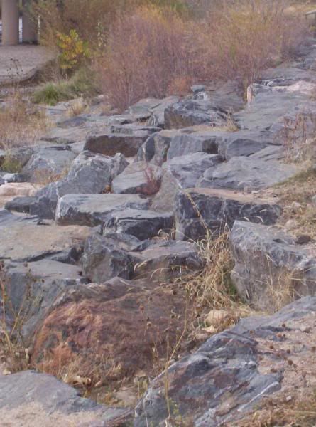 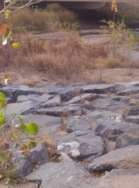 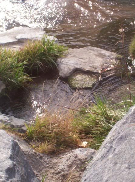 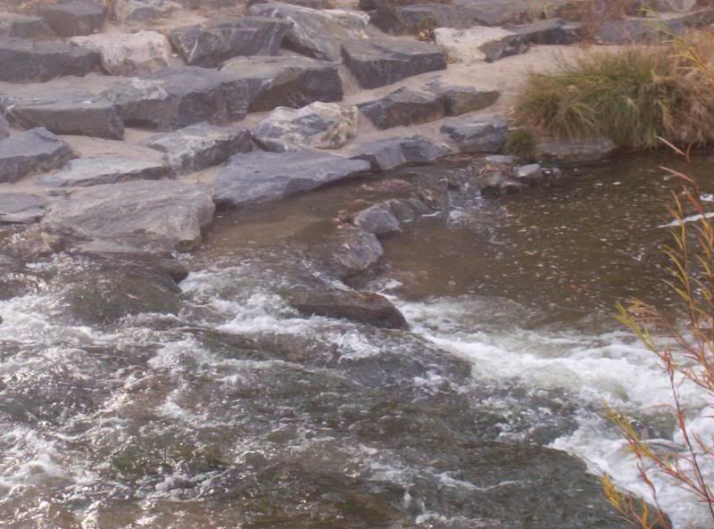 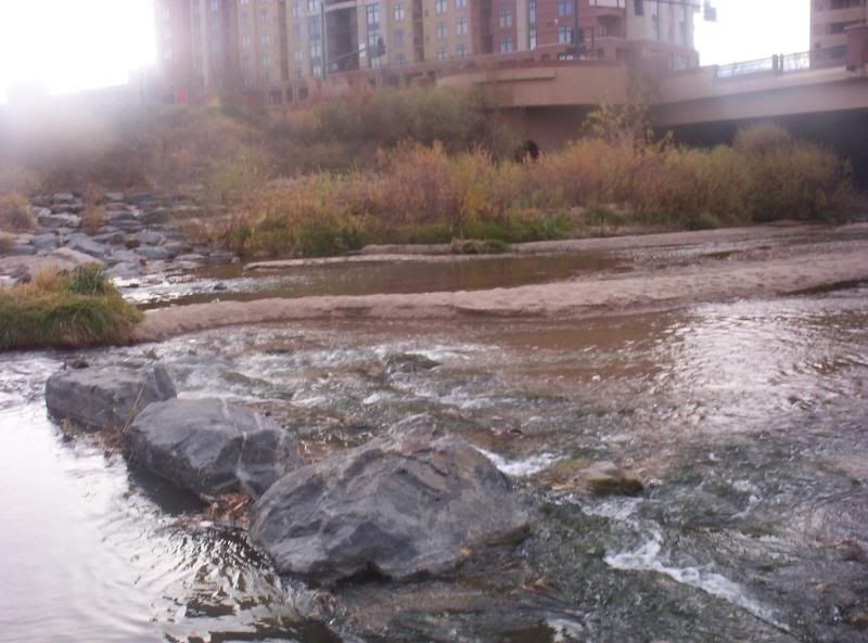 |
|
| |
|
11-16-2007, 08:28 PM
| #5 |
| RCC Addict Join Date: Apr 2006 Location: Brighton
Posts: 1,015
|
Basic Directions: 6th Avenue to Kipling St. South on Kipling Until you see this:  Turn Left if headed south, Right if coming North. Large parking lot, better to park in NW corner for access to bike path to access the MacIntyre Gulch. JeffCO schools...tread easy during the week, I'd say 4pm or later. Use your judgement on weekends...there are other ways into the area. There aren't too many deep spots to depth test the electronics 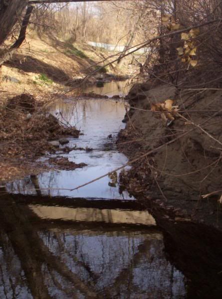   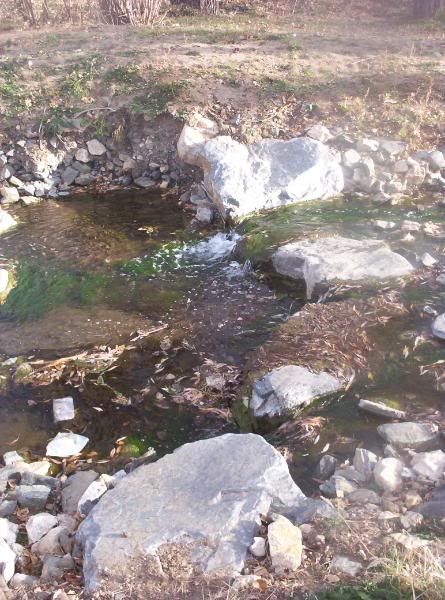 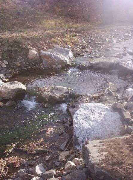 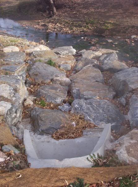 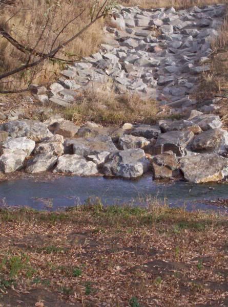 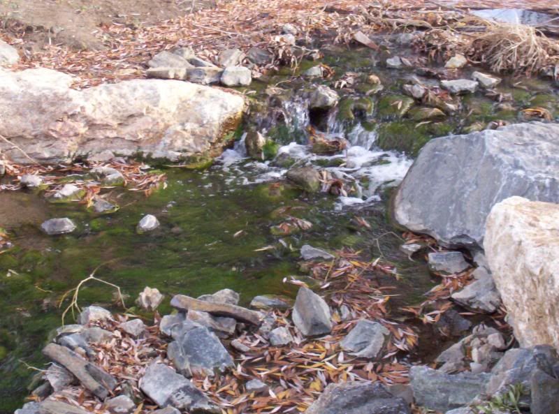 |
|
| |
|
11-17-2007, 09:55 PM
| #6 |
| I wanna be Dave Join Date: Mar 2005 Location: Hiding from Goodall
Posts: 2,518
|
Palmer Park I-25 south to Academy BLVD. Drive south on Academy to Maizland and hang a right. Take the first right into the park and then the first dirt road on the left. The park is loaded with places to play but this is the best by far. No fees and plenty of parking Last edited by 666; 01-18-2016 at 10:16 PM. |
|
| |
|
11-17-2007, 10:05 PM
| #7 |
| I wanna be Dave Join Date: Mar 2005 Location: Hiding from Goodall
Posts: 2,518
|
Hells Ditch Castle Pines Take I25 south to Castle Pines Parkway take a right follow to Monarch (stop light) and take a right follow about 1 mile, on right hand side is Coyote Ridge Park Park down by the playground (first parking lot on the left)... "hells drainage ditch" is about 200 feet south east from parking lot and about 50 yards from the playground or there is another parking area just down the road from the park entrance on Hidden Point BLVD. It is all rock set in concrete but has a fun trickle of water right down the middle perfect for keeping electronics safe. UPDATED PIC FROM 01-11-08 - Snow 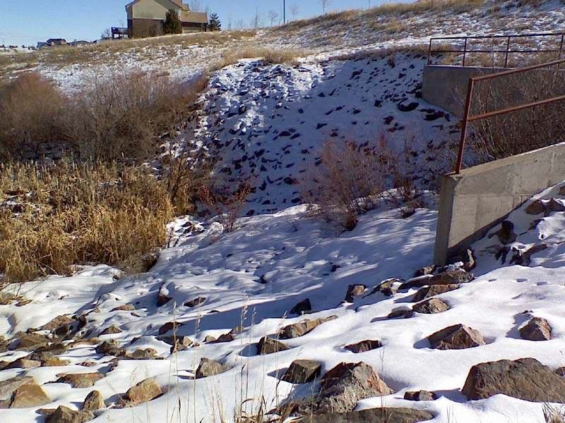 Last edited by 666; 01-18-2016 at 10:16 PM. |
|
| |
|
11-17-2007, 10:20 PM
| #8 |
| I wanna be Dave Join Date: Mar 2005 Location: Hiding from Goodall
Posts: 2,518
| Last edited by BENDER; 01-22-2008 at 01:13 PM. |
|
| |
|
11-17-2007, 10:44 PM
| #9 |
| I wanna be Dave Join Date: Mar 2005 Location: Hiding from Goodall
Posts: 2,518
|
Buffalo Creek The place for Cramping trips! Here is a map of the area Just zoom out to find a road you know. The spot is about a mile in on 550 on the right. The rock is your typical rocky mountain granite and is suitable for anything you have with wheels. 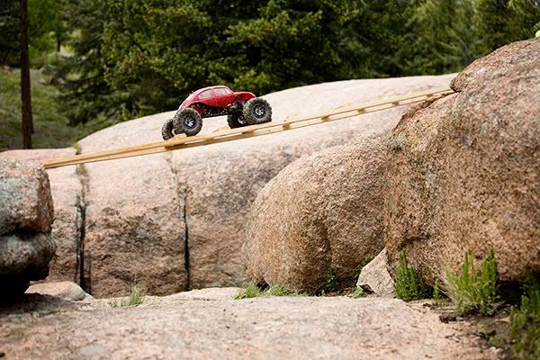 Last edited by 666; 01-18-2016 at 10:16 PM. |
|
| |
|
11-17-2007, 11:05 PM
| #10 |
| I wanna be Dave Join Date: Mar 2005 Location: Hiding from Goodall
Posts: 2,518
|
Flat Irons $3 fee for parking Take hwy 36 to Boulder and exit at Baseline Rd. Head west up into the park Last edited by 666; 01-18-2016 at 10:16 PM. |
|
| |
|
11-17-2007, 11:15 PM
| #11 |
| I wanna be Dave Join Date: Mar 2005 Location: Hiding from Goodall
Posts: 2,518
|
Horse Tooth $5 or 6 dollar entrance fee Directions posted by Dystance Merge onto I-25 N / US-87 N toward FT COLLINS Take the HARMONY exit (exit 265) - Turn LEFT (West) onto E HARMONY RD(CO-68 W ROAD) Continue to follow HARMONY RD(CO-68 W ROAD) This will have some curves but don't turn off of HARMONY. HARMONY RD (CO-68 W) becomes CR-38E. Follow this up the hill to reservior. From here use the map on below link. As you first get to the reservoir, you meet with CR23, here you turn Right or North. You should still be on the East side of the reservoir. If you turn South, you have missed the turn. Continue North along the reservoir and turn left at the T-in the road ( continuing North). You drive across one damn and continue to the parking area labled Sunrise on the map (see link below for map). I believe it is just after the second cattle guard. This is the pay lot you will park in. Continue past this lot less than one minute. There will be a small parking lot on the Left just before the road crosses the next damn. This is where the hike to Soldier Bay starts. http://www.co.larimer.co.us/parks/horsetooth_map.htm Last edited by 666; 01-18-2016 at 10:17 PM. |
|
| |
|
11-18-2007, 08:52 AM
| #12 |
| RCC Addict Join Date: Apr 2006 Location: Brighton
Posts: 1,015
| http://maps.google.com/maps?f=q&hl=e...5546&z=11&om=1 I-25 N / US-87 N. 52.5 miles Turn onto CO-14 W / E MULBERRY ST via EXIT 269B toward FT COLLINS.(3.4 miles) Turn SLIGHT RIGHT onto RIVERSIDE AVE. (0.5 miles) RIVERSIDE AVE becomes JEFFERSON ST. (0.3 miles) Turn RIGHT onto N COLLEGE AVE / US-287 N / CO-14 W. Continue to follow US-287 N / CO-14 W. (3.4 miles) Turn SLIGHT RIGHT. (0.4 miles) Stay STRAIGHT to go onto US-287 / CO-14 / LA PORTE BYP. Continue to follow US-287 N. (16.5 miles) Turn SLIGHT LEFT onto REDFEATHER LAKES RD / CR-74E / JACKASS RD. Continue to follow REDFEATHER LAKES RD / CR-74E. (22.4 miles) Turn RIGHT onto DOWDY LAKE RD. (0.3 miles) There are .35 miles between your ending location and the end of your driving directions. Use maps to get from your ending location to the end of your route. Driving time from I-25 and I-70: 1 hour, 58 minutes. Distance: 103.52 miles. $5 Day use Fee, Camping is seasonal and prices vary. Onto the good stuff 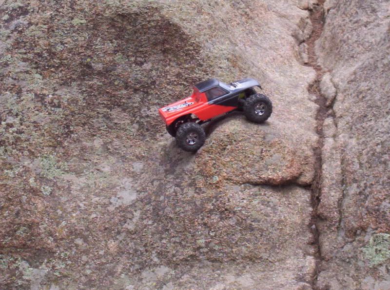     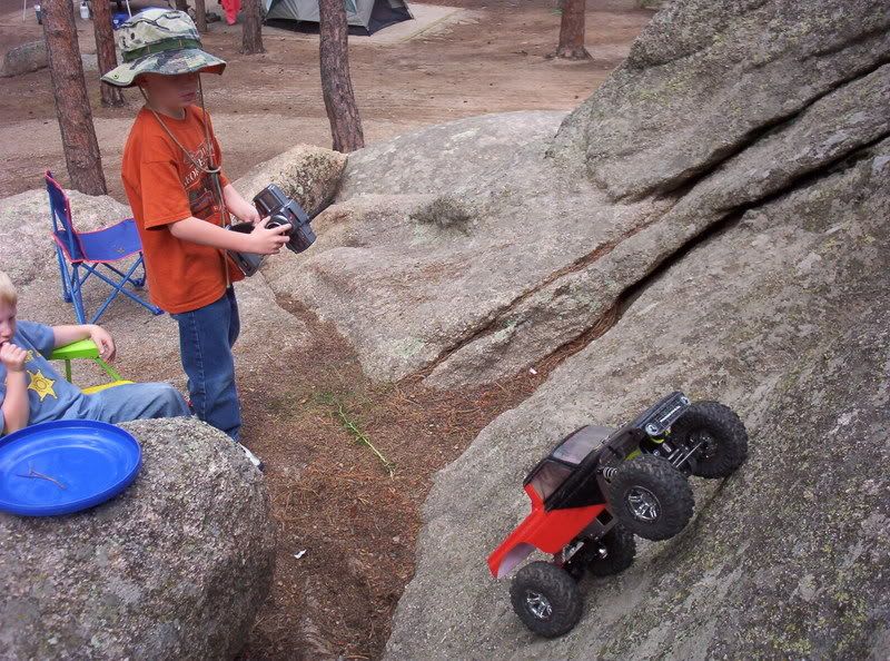 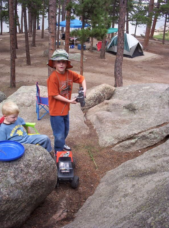 Last edited by DeaDShorT; 11-18-2007 at 09:02 AM. Reason: Add google map |
|
| |
|
11-18-2007, 04:56 PM
| #13 |
| RCC Addict Join Date: Apr 2006 Location: Brighton
Posts: 1,015
| http://maps.google.com/maps?f=q&hl=e...4548&z=16&om=1 Hwy 85 North to 104th Ave. Turn Left (west) onto 104th Ave. 1st right turn is Belle Creek Blvd. Head North through traffic circle over bridge. Crawling is just East of the Bridge. Lots of large rocks in Concrete, sure to break a stub or 2 in some of the wedges 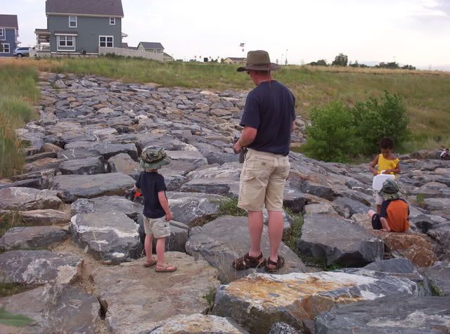 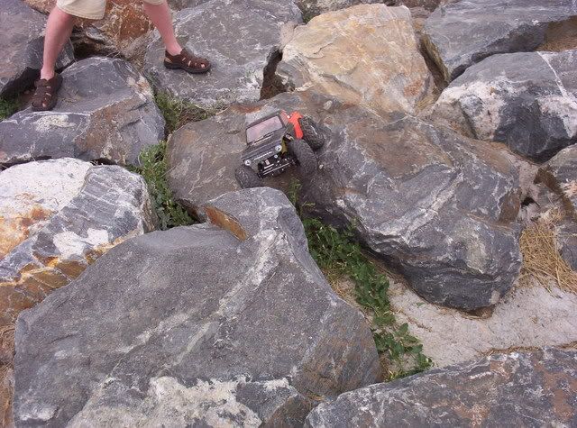 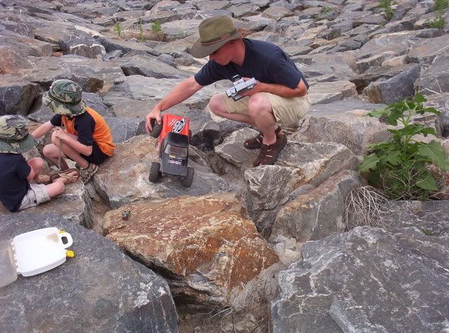 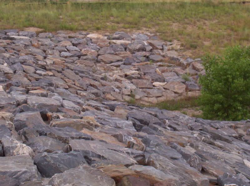 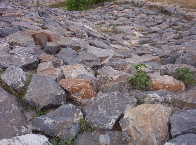 |
|
| |
|
11-19-2007, 08:22 PM
| #14 |
| RCC Addict Join Date: Apr 2006 Location: Brighton
Posts: 1,015
|
Basic directions are take I-25 to 104th ave, go east to colorado blvd. Take colorado blvd north to the first stoplight and go east 2 blocks 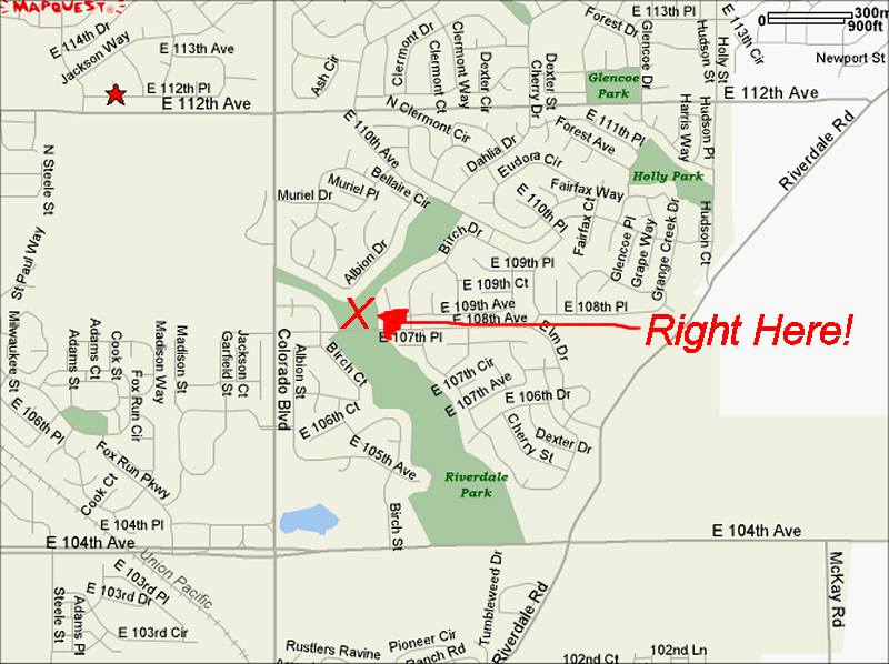 Beware of the blackhole!     |
|
| |
|
12-01-2007, 08:59 PM
| #15 |
| Powered by Awesome   Join Date: Sep 2004 Location: Parker, Colorado
Posts: 3,622
|
Daken Road Rock Garden... From Denver... Take I25 South Head West on Wolfensburger (second exit in castle rock) @ 3-5 miles till you come to a stop sign; a T Head South on Perry Park Road a couple of miles south, you will head West on Daken Road (Dirt Road) at the top of the hill take a left when the road T's then hang to the right Pass through the Forest Road enterence gate.. you WILL need a decent 4x4 past this point.. changes every year keep hanging to the left as you travel down the trail you will come upon a parking area on your right.. the spot is just up the road @ 1/2 mile you will come out of the trees to some rock stairs and a hug rock cropping to the right.. Park and unpack.. your there. Heres some pics.. Notice the GPS Lat/Long on the bottom of the map. Last edited by 666; 02-26-2009 at 06:37 PM. Reason: too any pics, makes page load slow |
|
| |
|
01-10-2008, 07:46 AM
| #16 |
| Powered by Awesome Join Date: Sep 2004 Location: Parker, Colorado
Posts: 3,622
| This is private property, please do not go here without permission or attending a sanctioned event. Thank you for respecting this as we may lose access to this area if you do not. Red Rocks Elemantary Take 470 to Morrison Road Head West into the foot hills PAY ATTENTION TO THE SPEED LIMIT! Just past Morrison (about 1 mile from 470) you will take a right at the Red Rocks Entrance 3 Park in the Dirt lot on your right The rock formations are in front of you and another batch is located on the other side of the Elemantaries Parking lot Bring Good shoes! You have to hike up a small hill to get to the rocks, and dont be surprised if you see one of the local rc crawlers up there... its a popular place to play! Happy Wheelin!!!     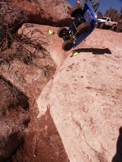 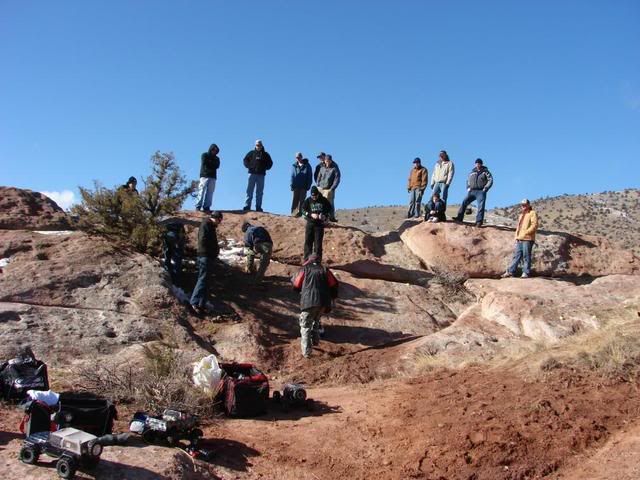 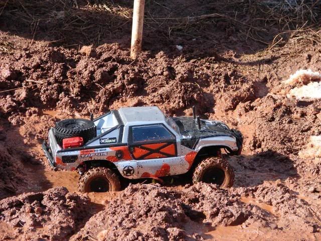 Last edited by 666; 10-20-2013 at 10:54 AM. |
|
| |
|
01-13-2008, 04:49 PM
| #17 |
| Powered by Awesome Join Date: Sep 2004 Location: Parker, Colorado
Posts: 3,622
|
Daniels Park in Castle Rock From I25 exit the Castle Pines Exit and head West for @ 2 miles or so.. when the road turns to dirt you are about 1/2 mile from the location. DO NOT TURN ANYWHERE - Simply go straight. Daniels park starts with a point of interest with restrooms and parking markeres with huge boulders... there are multiple locations to park down along the road and each of them have some good wheelin!!! The park is riddled with concrete tables and Grills... onto the pics!!! 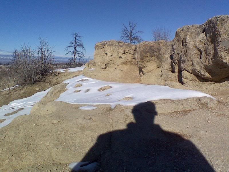 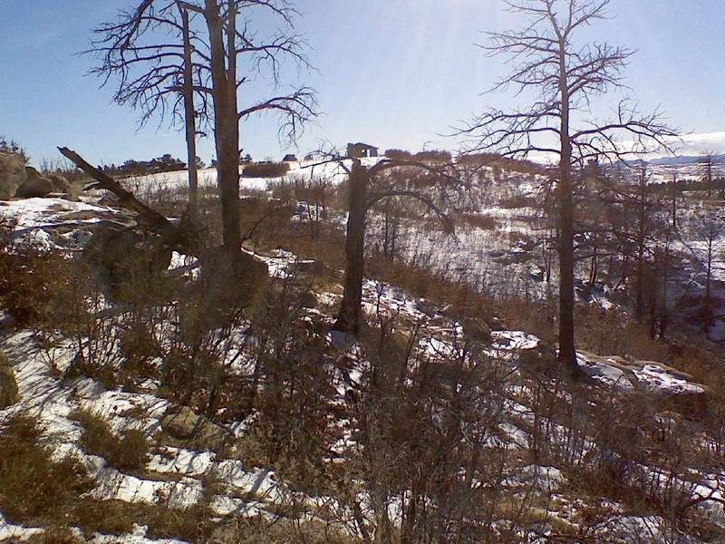 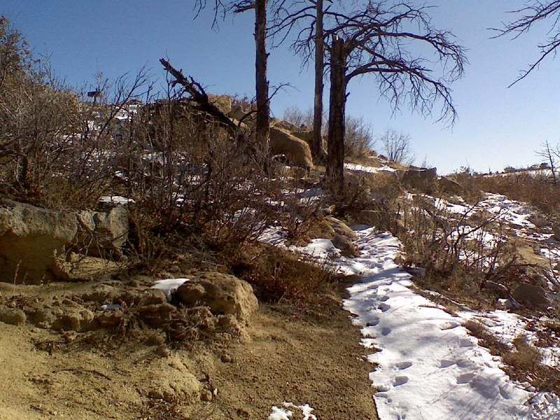 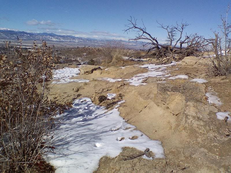 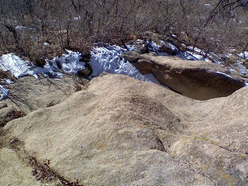 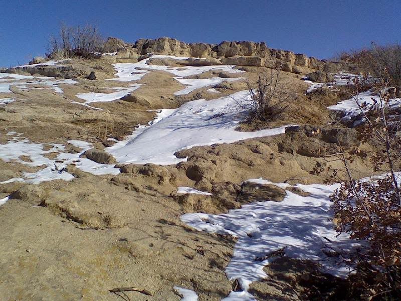 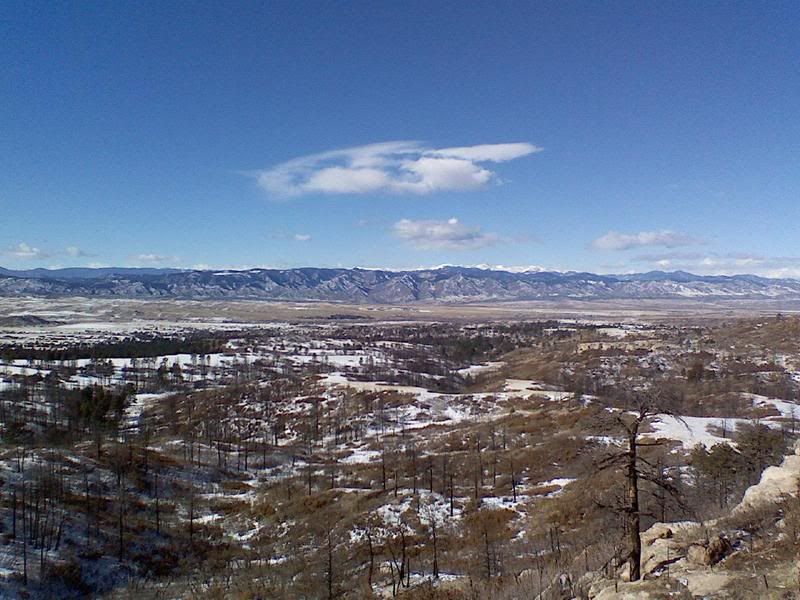 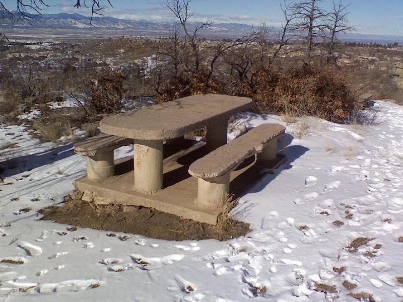 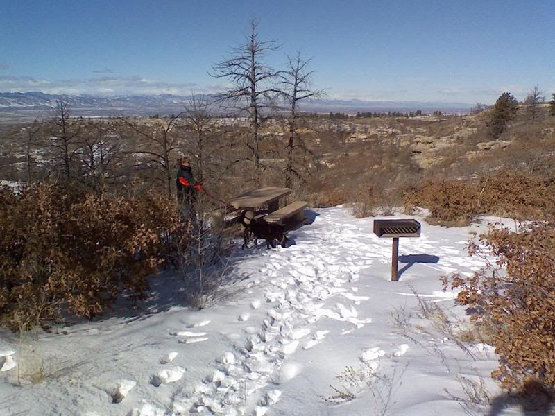 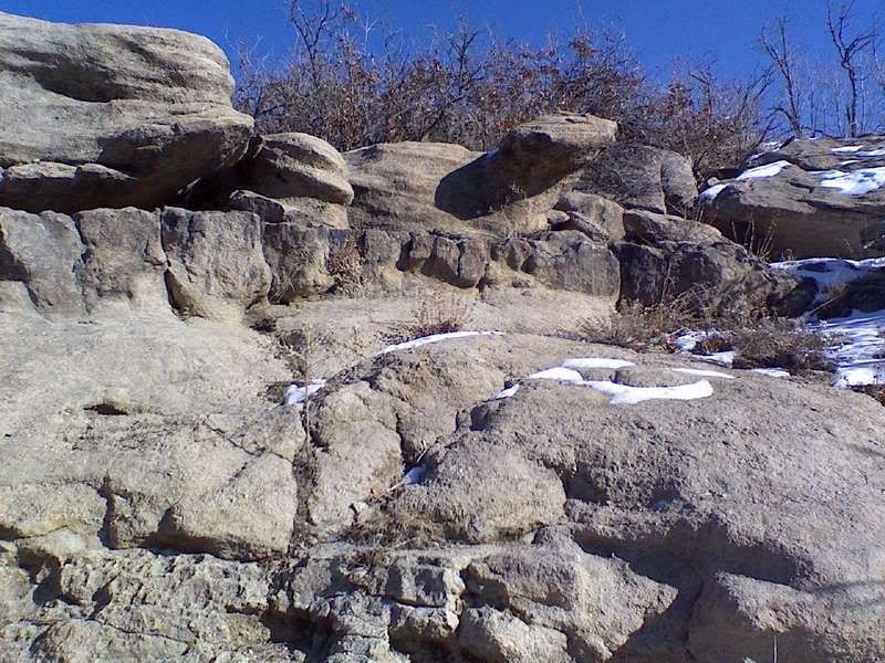  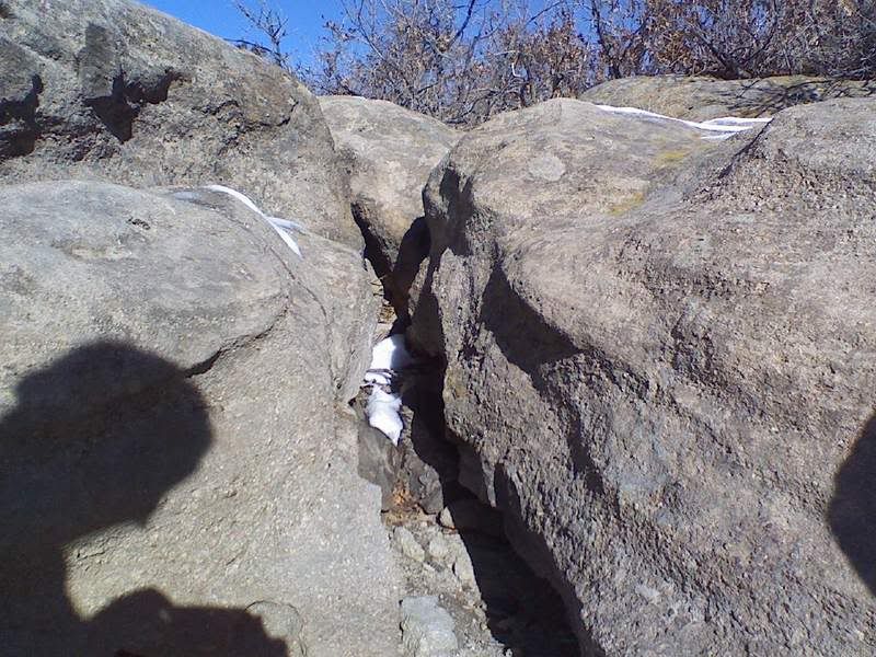 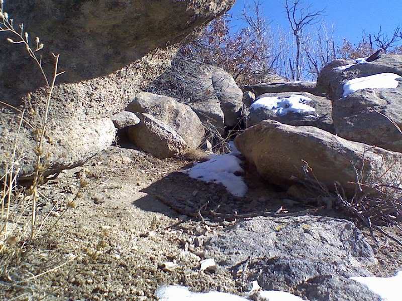 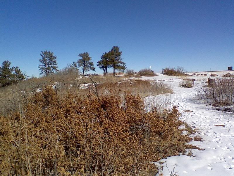 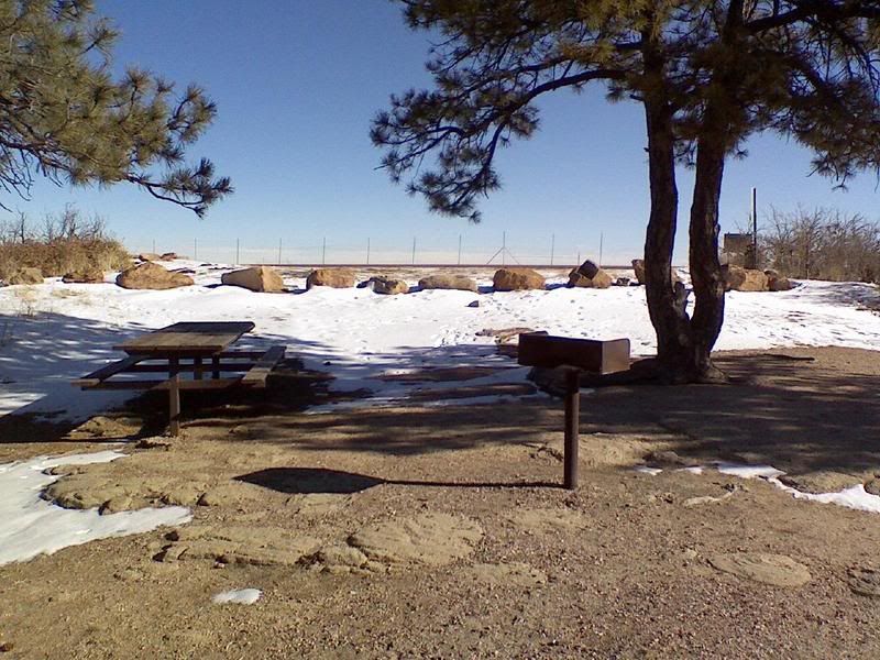 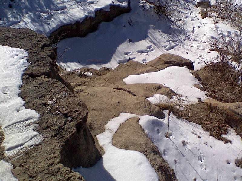 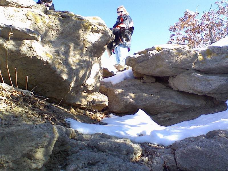 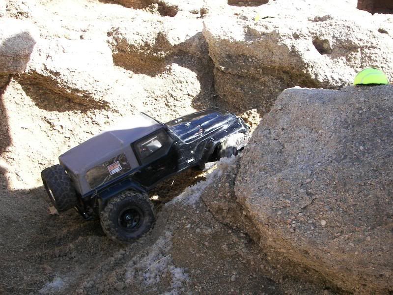 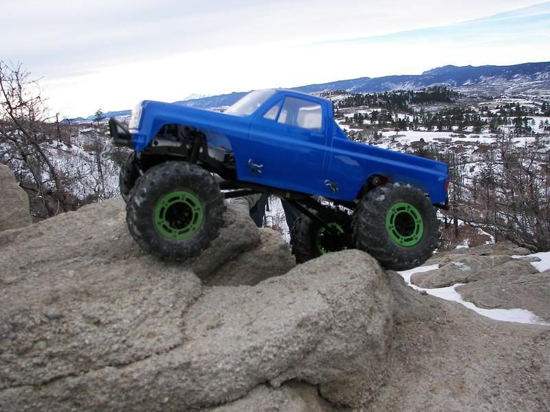 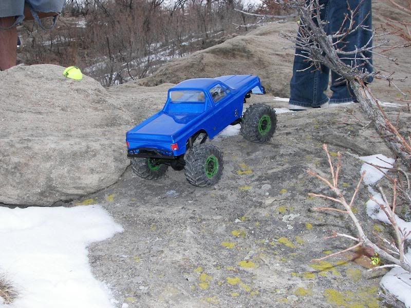 Last edited by TwistedXT; 02-13-2008 at 07:27 AM. |
|
| |
|
02-12-2008, 12:27 PM
| #18 |
| Quarry Creeper Join Date: Aug 2006 Location: CO burbs
Posts: 261
|
Longmont, Rough and Ready park on 21st Ave. 301 E. 21st St. Special note - this one has flowing water in the warmer months and is not usable. CRAP!!!! Map, http://www.mapquest.com/maps/map.adp...&name=&dtype=s Last edited by 666; 01-18-2016 at 10:18 PM. Reason: map fd-up |
|
| |
|
04-06-2008, 10:41 PM
| #19 |
| Quarry Creeper Join Date: Nov 2007 Location: Lakewood-Crawlerado
Posts: 219
|
heres another GREAT crawl spot in Lakewood near the intersection of kipling and exposition It shows the entrance by garrison but the one by kipling is much closer to the rocks which are on the far west end of the lake http://maps.google.com/maps?ie=UTF-8&hl=en&tab=wl 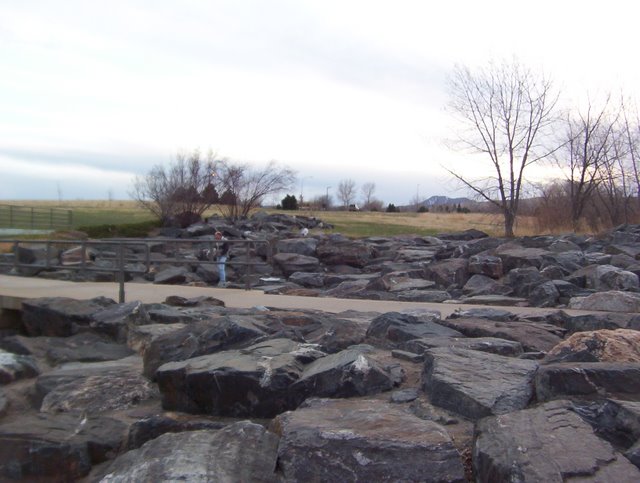 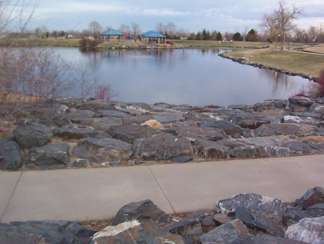  |
|
| |
|
05-28-2008, 10:15 AM
| #20 |
| Quarry Creeper Join Date: Aug 2006 Location: CO burbs
Posts: 261
|
I don't have pics yet, but some people are already using this spot. There are little paint dots to be found if you look close enough. On the map, it's on the south side of 119 just east of Main. Park in the lot south west of Red Robin. It's the drainage ditch rocked and cemented to the west of Red Robin - in between S. Martin st and S. Emery. The mapquest link with areal photo shows the rocks. I can't get the freakin link to show it, so look for 119 and main and then scroll to the east about 2 blocks and then zoom in and change to photo mode..... http://www.mapquest.com/mq/7-1ERKpaIw Last edited by Mule; 05-28-2008 at 10:20 AM. Reason: bad link |
|
| |
|
| |


 Linear Mode


